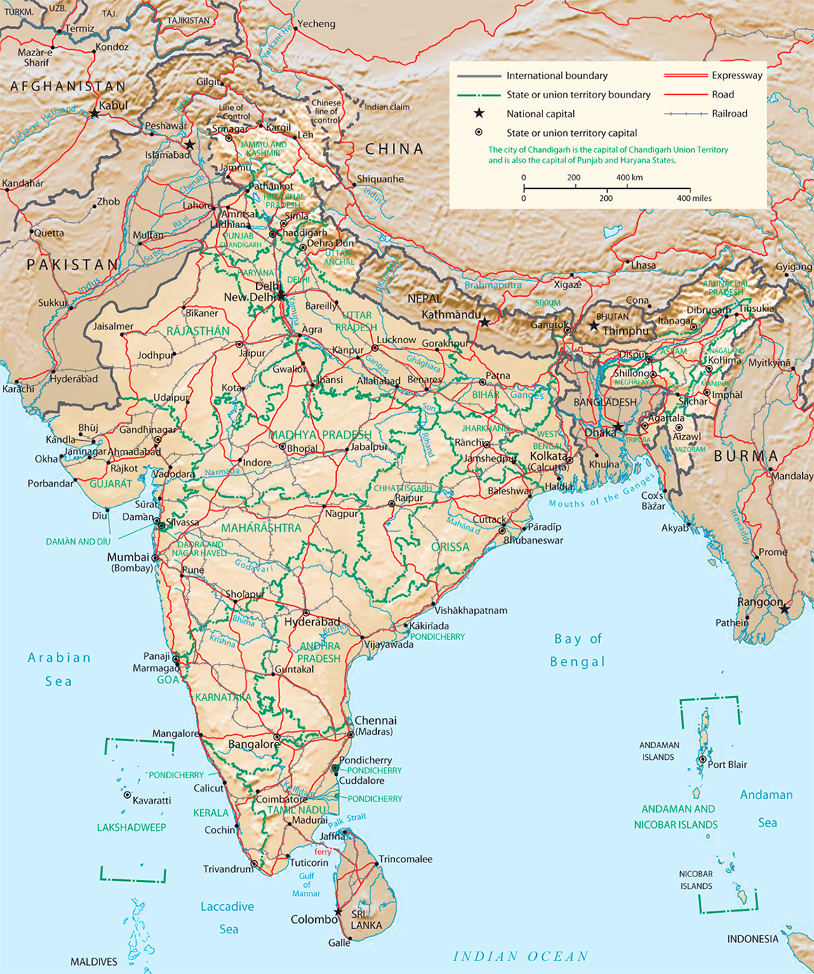
Map of India
(Physiography, CIA - 2001)
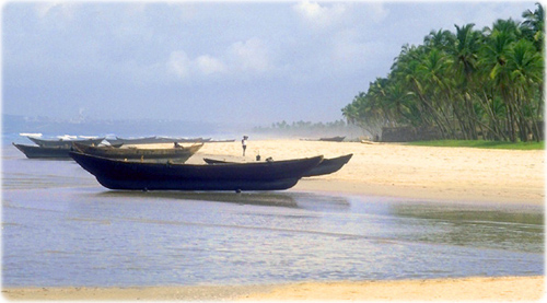
Colva Beach in Goa, India. An old Portuguese colony.
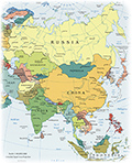
The Republic of India is a country in South Asia. It is bounded by Nepal, China, Bhutan, Pakistan and Bangladesh.
In the middle ages, Christianity, Islam, Judaism, and Zoroastrianism put down roots on India's southern and western coasts. Muslim armies overran India's northern plains, eventually establishing the Delhi Sultanate, and drawing northern India into the cosmopolitan networks of medieval Islam.
|
Copyright © Geographic Guide - Asia Atlas. |
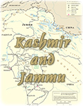
Map of India