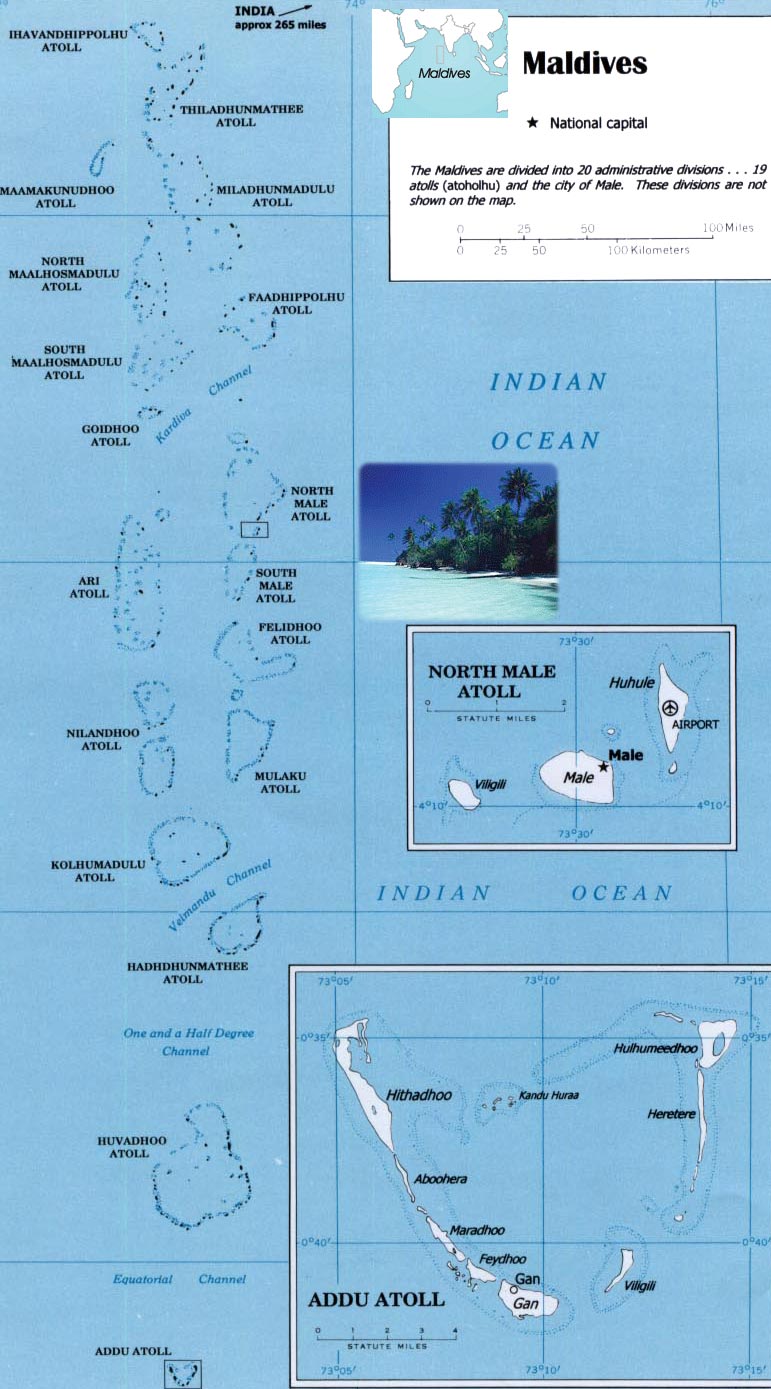
Map of Maldives
The Maldives nation, in the Indian Ocean, faces an environmental threat from sea level rise, as 80% of its islands are less than 1 m above sea level. To counter this threat, the country is creating a new artificial island, Hulhumale. The capital city of Male, southwest of the new island and the airport, houses 130,000 people in 2.5 sq km. By 2019, more than 50,000 people had moved to Hulhumale, with plans to host 240,000 of the nation’s people by the mid-2020s.
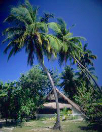
Thatched hut and palm trees, in Maldives islands.
|
Copyright © Geographic Guide - Asia Atlas, Maps of Countries. |
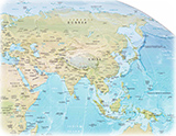
Map: U.S. Central Intelligence Agency.