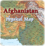
Political Map of Pakistan
Islamabad capital territory.
Copyright © Geographic Guide - Asia Atlas, Maps of Countries.
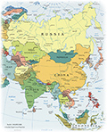
◄ Asia Atlas